Sunday, April 28, 2024
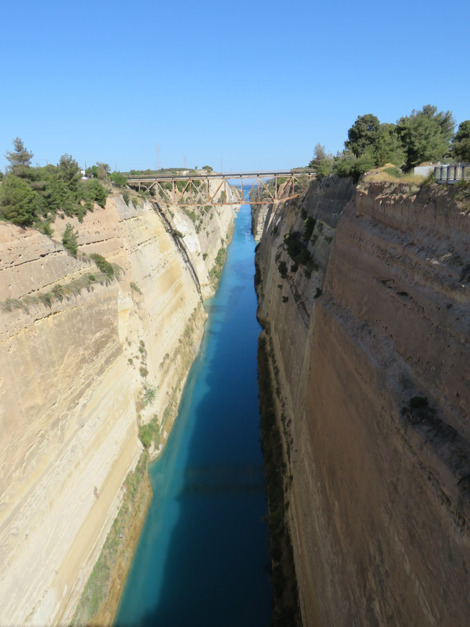
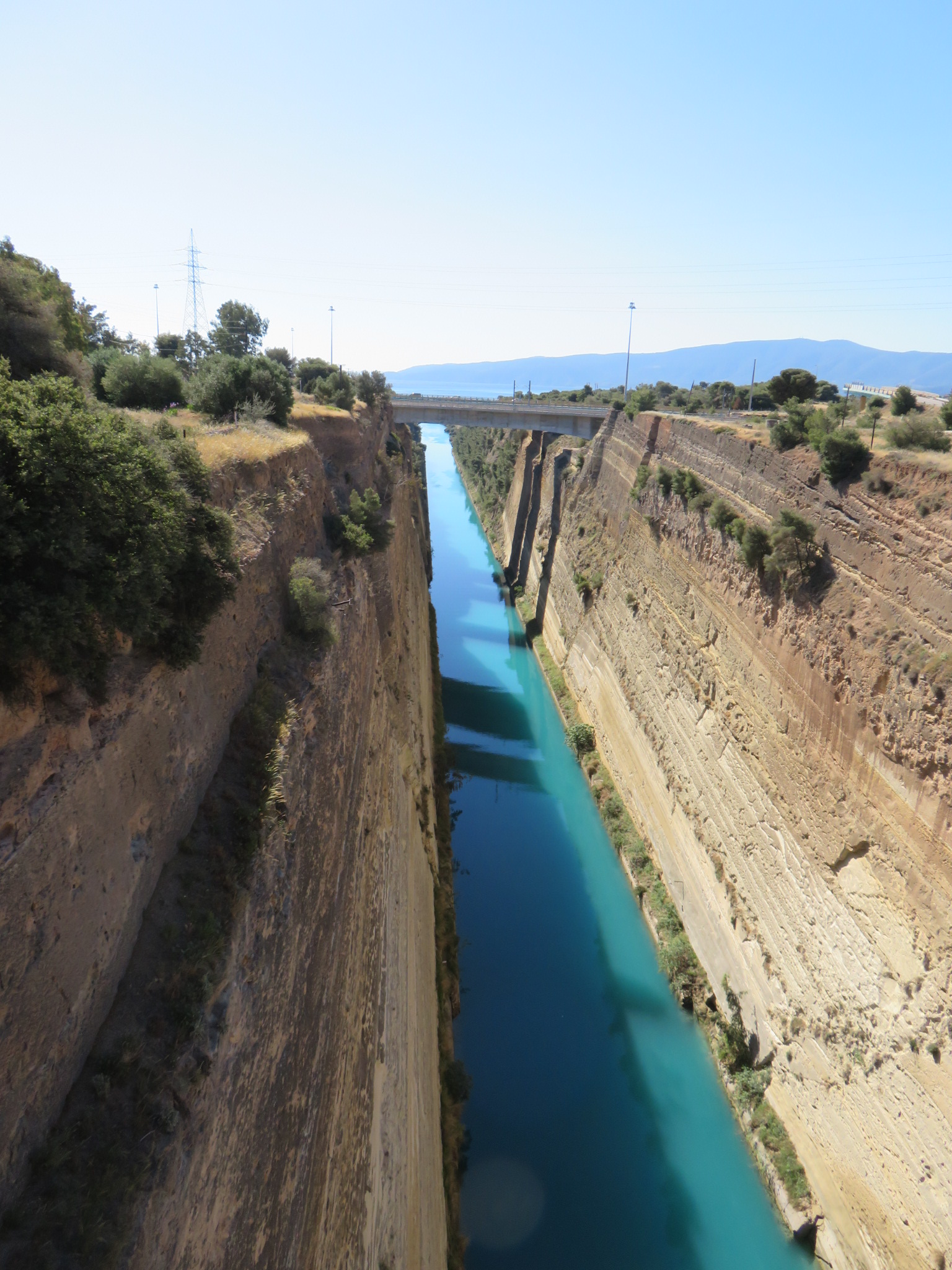
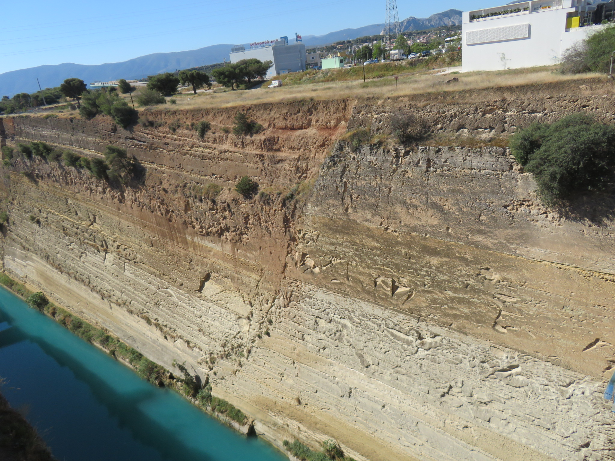
We first drove to the Corinth Canal. The Isthmus of Corinth separated the Saronic Gulf (in the Aegean Sea) from the Gulf of Corinth. In ancient times, ships were dragged over the isthmus from one side to the other. The first attempts to cut a canal occurred in the 8th century BC, but proved to be too difficult. The Roman emperor, Nero, began building a canal in 67AD, using thousands of slaves, but he died before it could be completed. The current canal (almost 4 miles in length) was built between 1892 and 1893, and was financed by the Greek government. Only about 75 feet wide, it is too small for many modern ships to traverse. You will never see a Panamax ship here. Even with this limitation, there are over 12,500 transits each year.
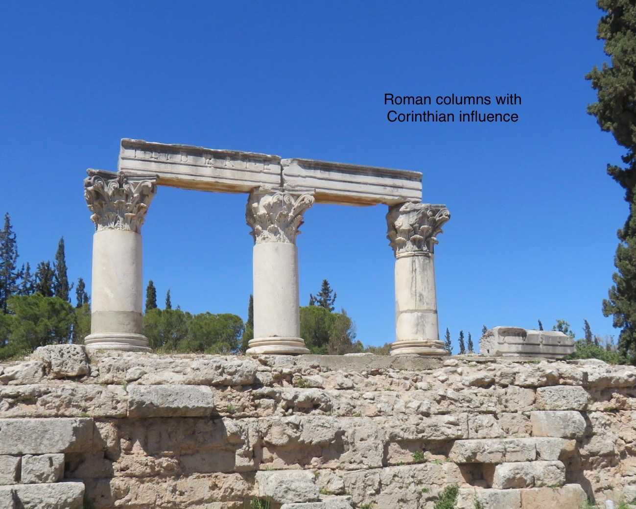
We crossed the canal from Northern Greece to Southern Greece, known as Peloponesse, and headed to Ancient Corinth. Historical references to Corinth date back to the 8th century BC, although the site had been occupied for two millenia before that time. In 146 BC, Corinth was conquered and destroyed by Romans, then rebuilt by Romans a century later.
Ancient Corinth, the Roman city, was destroyed by an earthquake in 1858. A new city, New Corinth, was built southwest of the city, and it was destroyed by a 1928 earthquake. Rebuilt again, it was destroyed by fire in 1933. Perhaps it should have been renamed as well, to Phoenix, as it rose from its ashes.
Corinth was famed for its artistic innovations, including the invention of black-figure pottery. It was also known for its sailors and shipbuilding, specifically for triremes, wooden vessels with three banks of oars. It is believed that the trireme was invented by the Corinthians in the late 8th century BC. By the 5th century BC, Triremes were the dominant warship type of the eastern Mediterranean Sea.


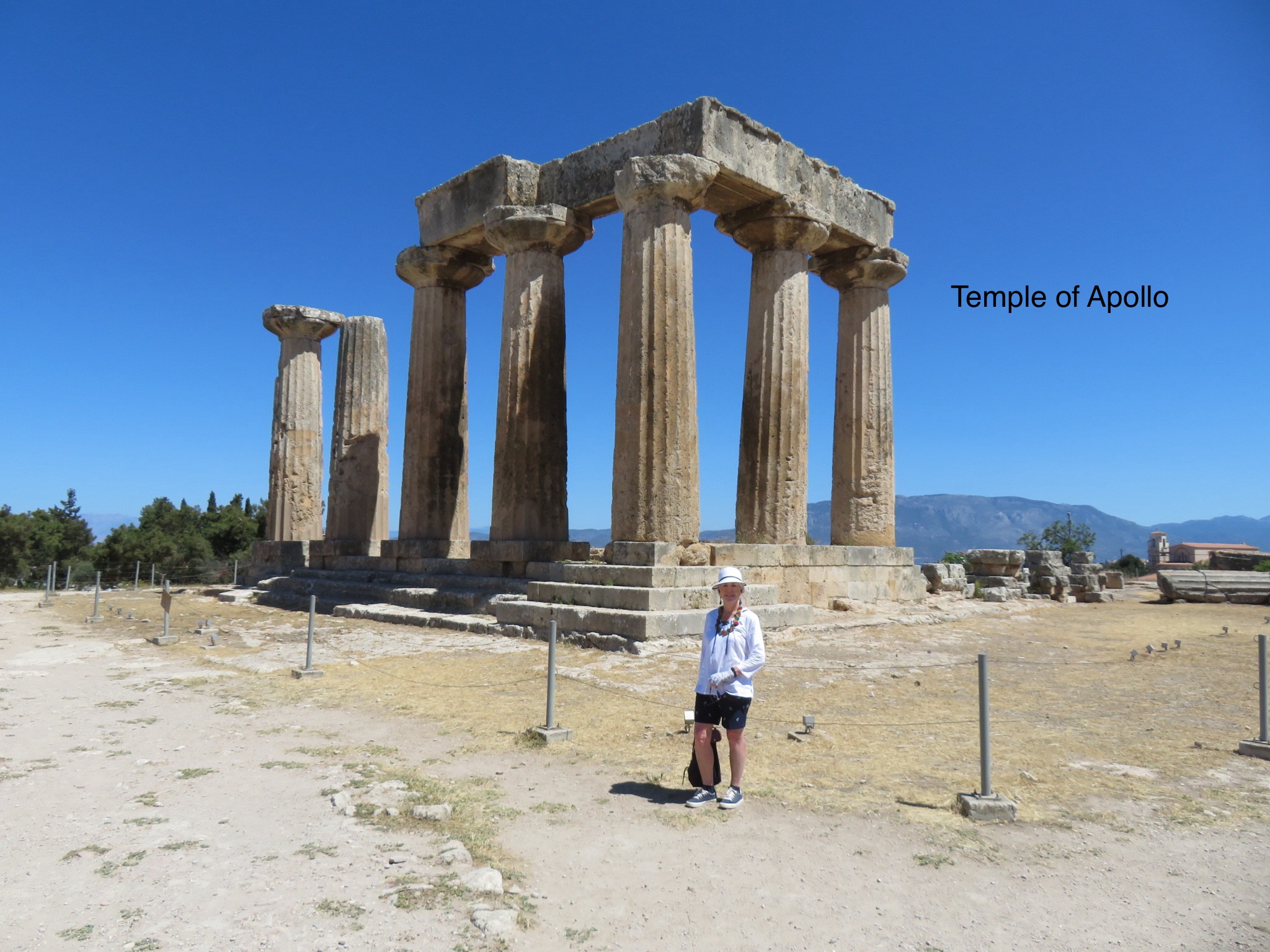
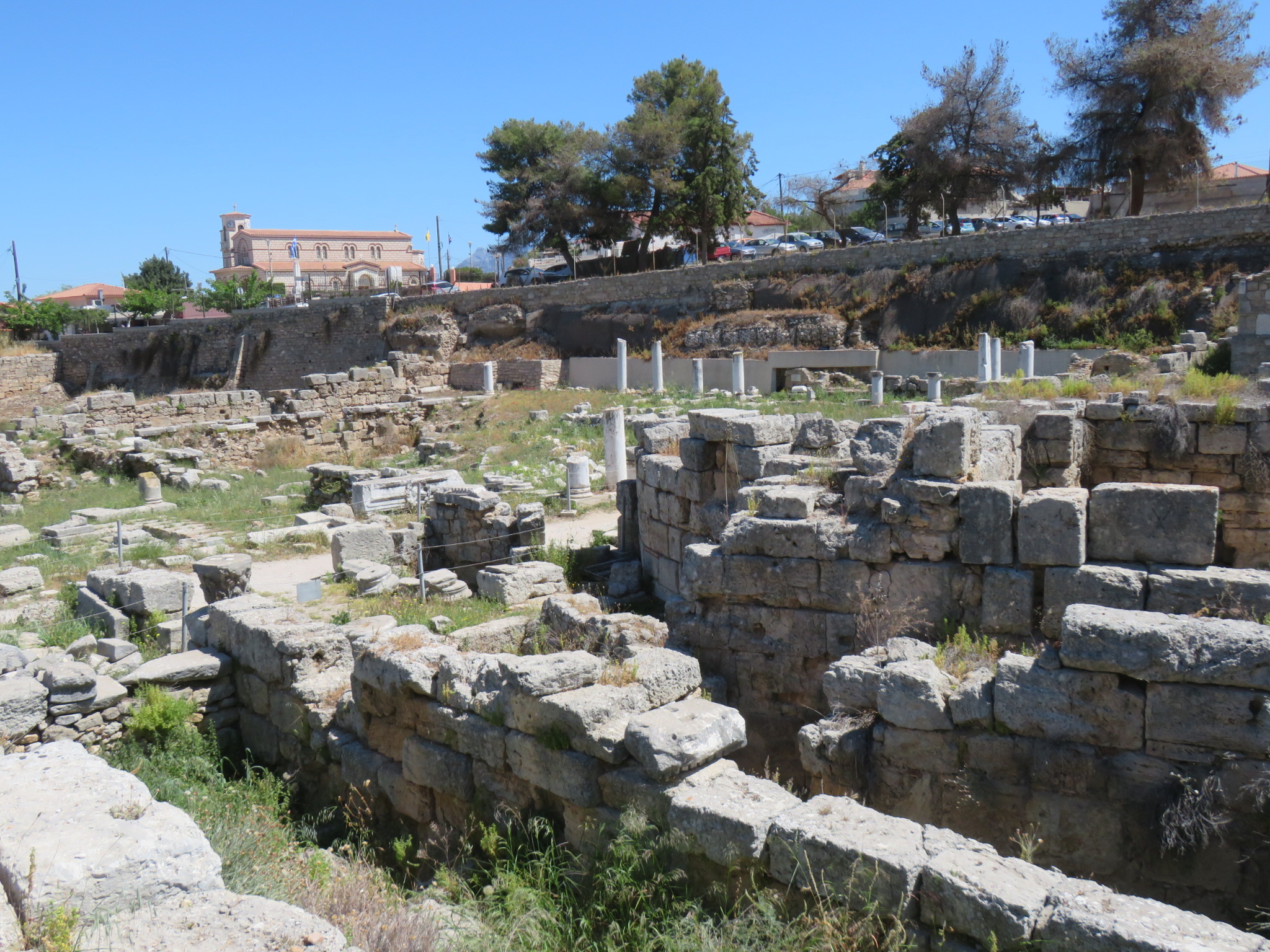
We visited several archaeological sites in the old city. The Temple of Apollo originally had 38 columns, though only seven remain standing today. It is not known excactly when the temple was built, but it is thought to have been in the mid-6th century. It has probably been remodeled several times since then. The Glauke Fountain was formed by quarrying away surrounding bedrock, and was originally contained within a long limestone ridge, and may date as far back as the Temple of Apollo. The fountain was named for the daughter of Creon, the king of Corinth.


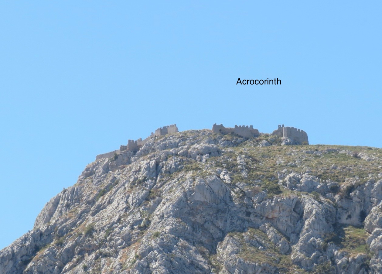
The Acrocorinth, or acropolis of Ancient Corinth, overlooks the site. The word acropolis comes from two Greek words meaning hill and city. The Acrocorinth is a monolithic rock used as a fortress, due to its easily defensible position on the hill. An acropolis was always built on a hill where there is access to water. Three circuit walls were added, as was a temple to Aphrodite. The temple enjoyed later lives as a church and as a mosque.