
Tuesday, June 22, 2021
We drove north to Great Falls, Montana, home to five hydroelectric dams on the Missouri River, including Ryan, Rainbow, Black Eagle, Morony, and Cochrane, all providing power to the area. There are also five waterfalls: Rainbow, Black Eagle, Crooked, Colter and Big Falls, all within about 10 miles of each other. We figured we’d spend a little time locating each one of them. Easier said than done!
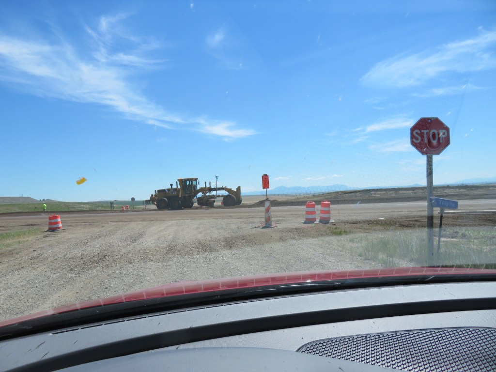
We located the dams on the map, and thought we’d shoot for the northernmost one first – Morony Dam. After going a short distance on Hwy 87, we came to a stop for roadwork. We sat there about 15 minutes, and turned around to look for another route. Bootlegger Trail looked like it would take us north of the roadwork, which it mostly did, but we had to cross the area being worked on to get where we wanted to go. The road was being completely rebuilt, traffic was led through one way, then the opposite side was led through. We were allowed to cross to the other side when an opening occurred. Bootlegger Trail was an adventure in itself; the part that was paved was full of potholes.


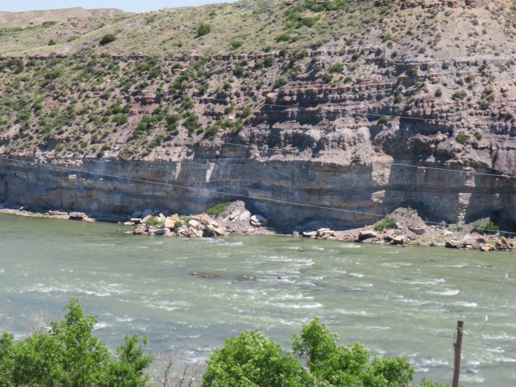
Morony Dam was OK, but barely worth the trip. However, the next stop was at Ryan Dam, built at the Great Falls themselves. Here, we could walk over to Ryan Island Park for great views up and down the river, as well as of the dam and the falls. This was definitely worth the effort to get here.


We did manage to see two more of the dams and waterfalls – Black Eagle (near downtown) and Rainbow, but there were no open roads to Cochran’s.
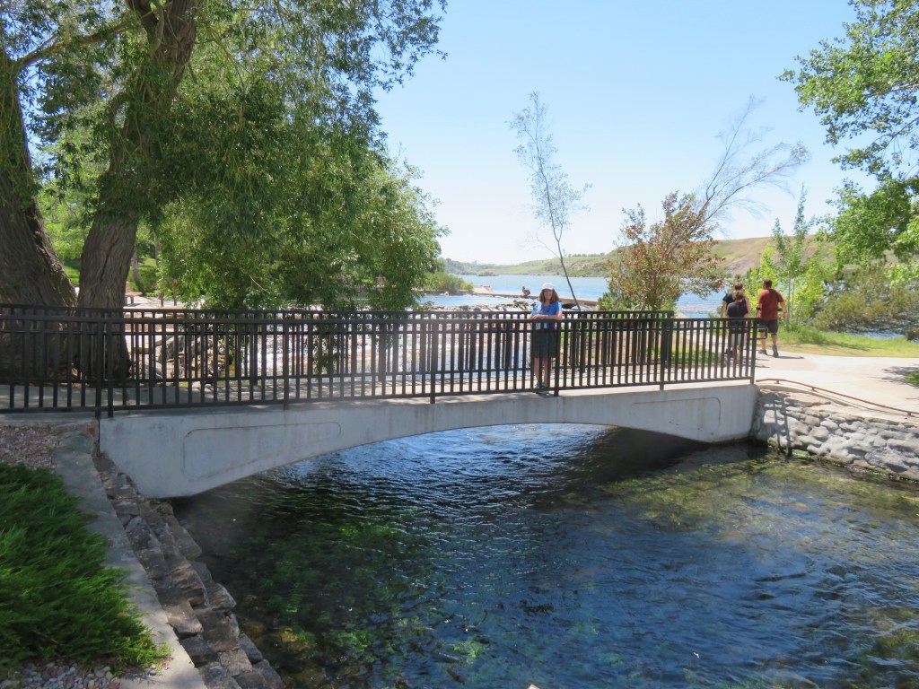
Giant Springs Park is between Black Eagle and Rainbow, and is home to one of the largest natural springs in the US. This spring produces over 156 million gallons of water per day. The water is pure, but visitors are discouraged from drinking from the spring because of the fish and waterfowl (I guess they poop in the water!) Lewis and Clark stopped here on their journey to the Pacific in 1805. Blackfeet people used these springs for their water source in winter. Settlers began arriving in the mid-1800s, and the town of Great Falls was established in 1884. Today, some of the water is bottled for consumers.
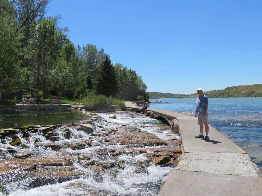

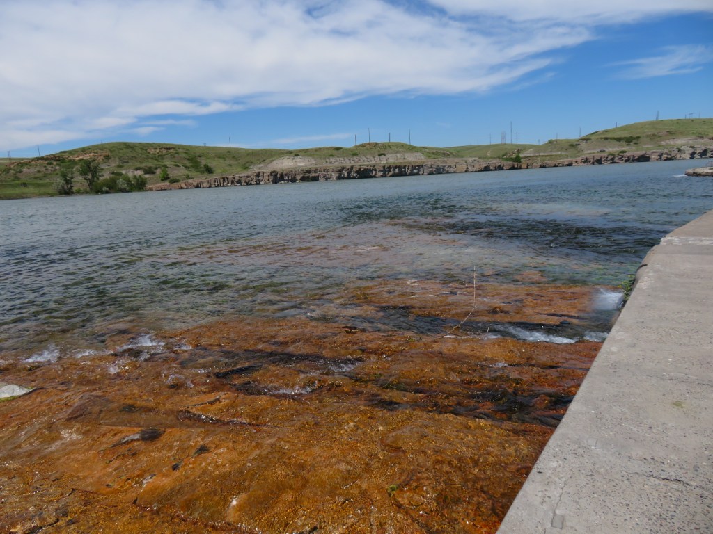

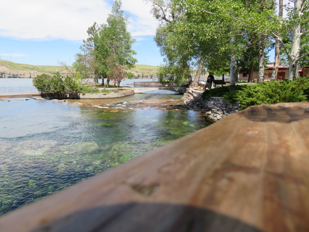
The springs flow into the Roe River which soon empties into the Missouri River. The Roe, named for a fish hatchery in the park, is only 201 feet in length, and was once called the shortest river in the world by Guinness. However, there has been an ongoing battle with the state of Oregon over whether their own D (creative name) River is actually the shortest. The length of the D varies with the tides, 120 feet at high tide, and 440 feet at low tide. It was also once named the shortest by Guinness. To avoid the conflict, Guinness no longer lists either one. Fame is fleeting.


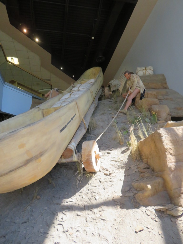
Final stop of the day was at the Lewis and Clark Interpretive Center, just up the road from the park. This area was challenging for the expedition because of the number of waterfalls, so they spent a great deal of time portaging.


I was just here last weekend! We had trouble finding all the waterfalls as well and never ended up making it to the actual Great Falls… our gps took us to a road that wasn’t actually a road. It’s a bummer they’re so hard to get to.
LikeLike
Too bad you missed the Great Falls. We almost gave up on it because it was such a challenge
LikeLiked by 1 person